Sunday, July 27, 2014

Friday hike with my nephew

This past Friday, I went on a little hike with my 13 year old nephew Joey. He (or, more accurately, his mom) sent me some pics of a shelter he built himself, and was looking for some tips. Instead of tips, I opted to take him out for a day hike on my day off. I decided on the High Ridge wildlife management area located in Westminster (map can be found here). Its close to him, and is a nice area for walks.
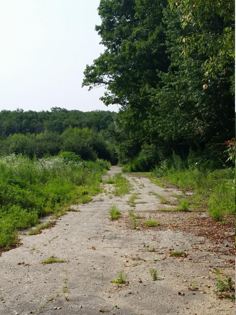
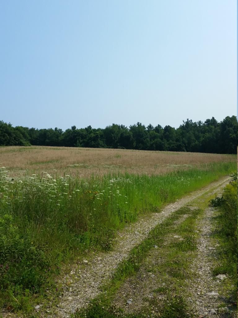
A little history on the area. The entire area was a working farm community for the mentally ill, until 1975, when they went from a cottage community for the mentally ill, to incarceration (this link is the best I could find on the actual history). The entire area, which is located behind the Gardner State Prison, is approximately 2000 acres of multi use land, which, at times, has been used for agriculture, but, when we were out there, the fields don't look as they've been used in several years (there is various vegetation growing in them, to include several saplings). The area can be used for hunting, and is popular with dog walkers as well, as there is a semblance of roads still remaining.
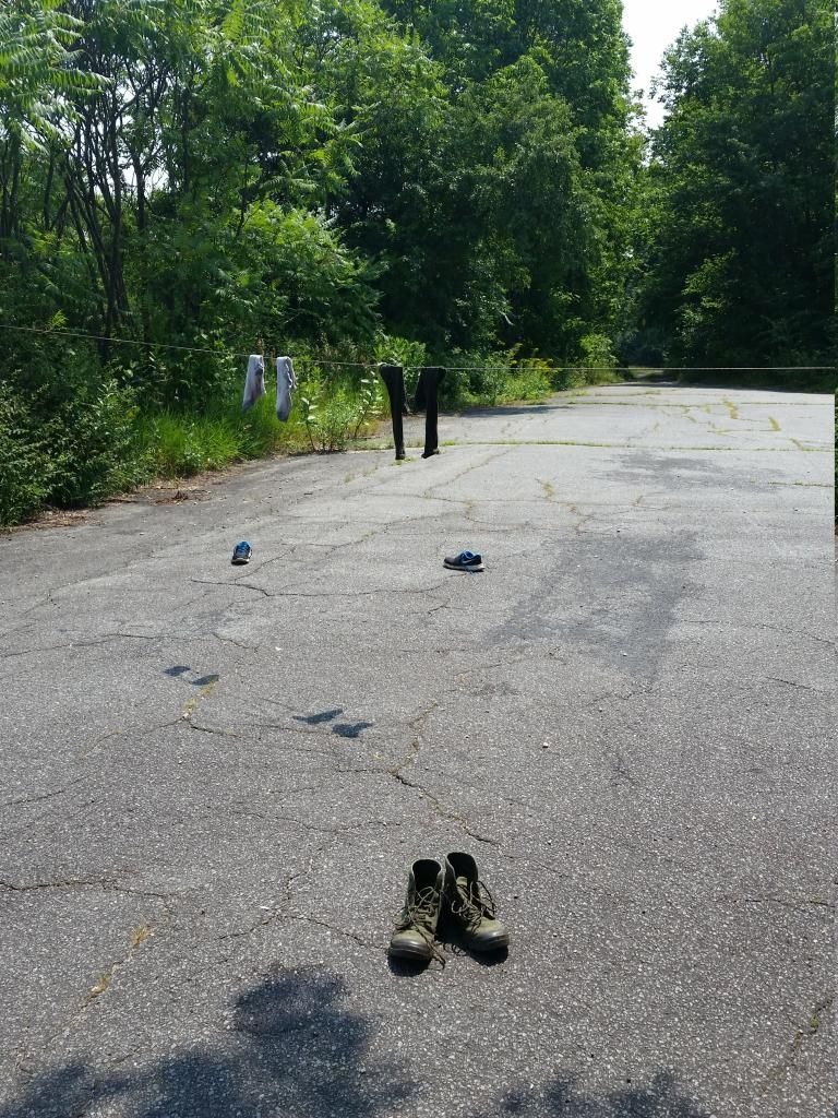
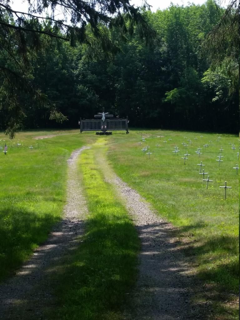
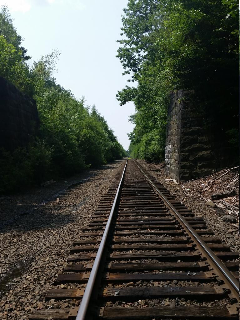
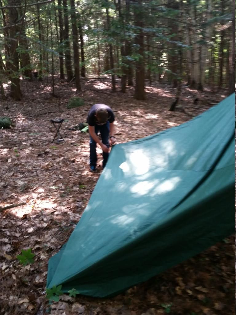
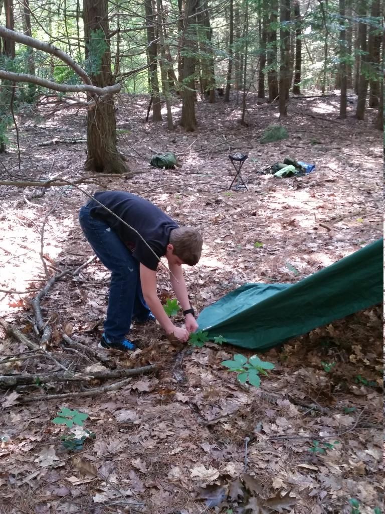
We had a good time, I showed him a couple knots to learn, and we worked on setting up a tarp in a couple different configurations. The entire area is separated by a rail line that runs roughly north to south. We stayed almost entirely on the western side, only crossing the tracks to check out the abandoned cemetery (and dry our socks).
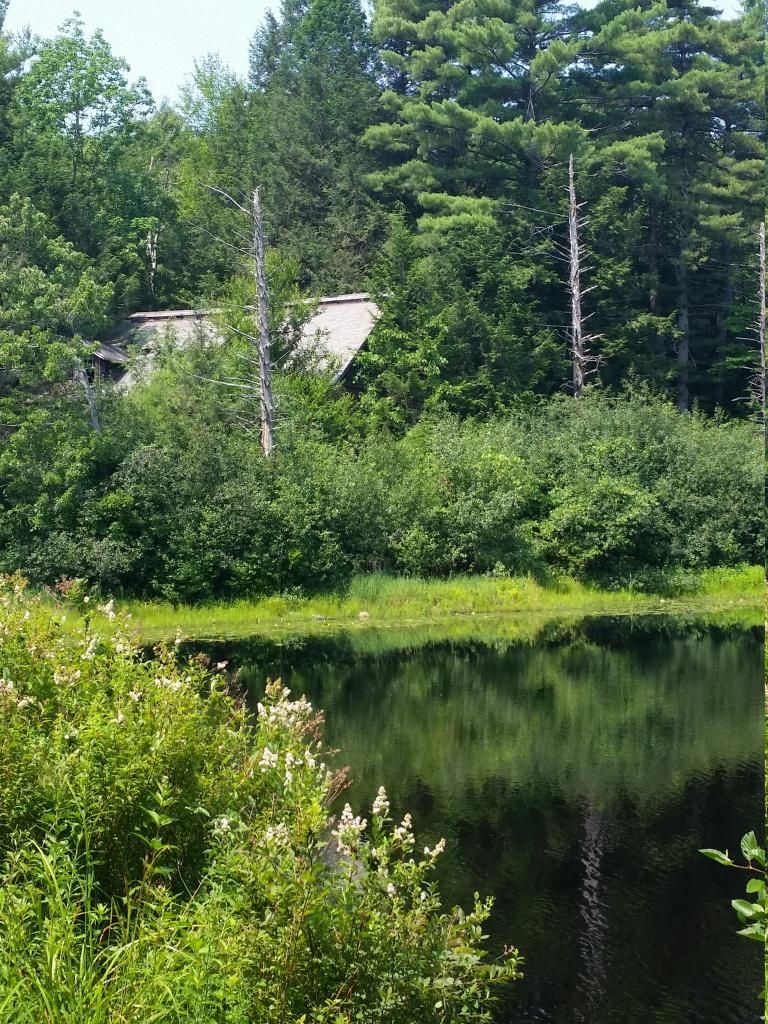
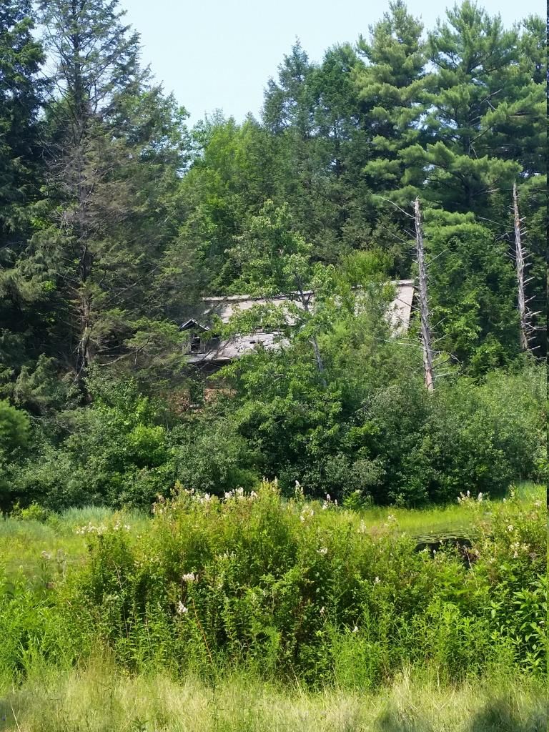
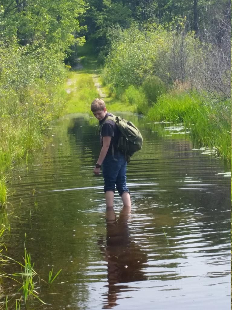
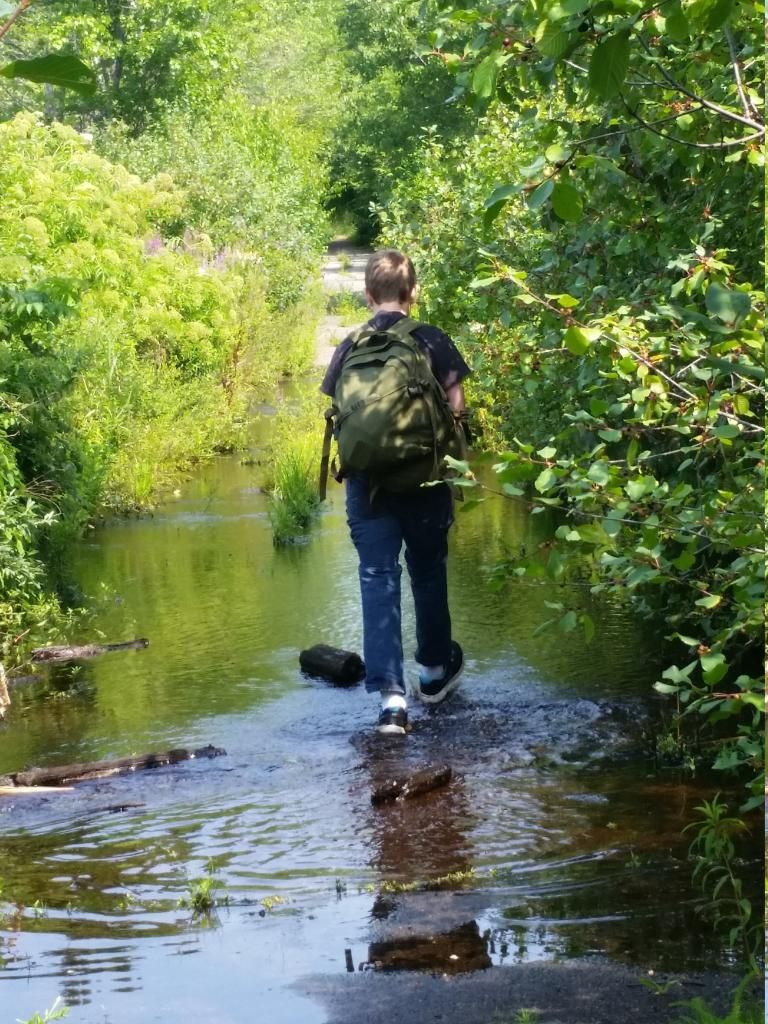
Below, you will find some pics, and a short video I did of us crossing the flooded road (on our way back). This entire WMA is an amazing place to visit, and, even though there are scant entries found online regarding it, the history is pretty interesting. Massachusetts was famous for abuse of its mentally ill (just check out http://en.wikipedia.org/wiki/Titicut_Follies, which was typical for how they were treated here), so its no surprise there is little documentation. Most of the buildings are gone now, the few that remain are not safe to enter, and posted with signs. Enjoy the pics!

Monday, July 21, 2014

Lovely day for a dayhike!

Today was an absolutely beautiful day for a dayhike. I recently picked up a Berghaus Munro (review coming soon, want some more time under it), and wanted to put a couple miles on the pack, to set it in, see how I liked it. The area I decided to hike is called Tophet Chasm, and it is located in Littleton MA. I pass by this on my way to work every day, and its also on the way to my gun range. I've always wanted to hit the trail, but never really got the chance. Today was my chance. Boy, was I pleasantly surprised.
The trailhead is located on Oak Hill Road in Littleton, MA.There are approximately 6 miles of trails located within 220 acres. Some local history of the area: the area was close to the historic Shaker Village and, from what I had read, Tophet means "road (or tunnel) to Hell". The area was an ancient waterfall at one point, almost as high as Niagara Falls. Now, of course, thats gone. The area, according to what I've read, was also a Stage Coach road. But, for more history, click the link above. On to my hike.
A beautiful, sunny, 80 degree day. My goal was to get to Lookout Rock, located just south of the highest point in Littleton, which is 600' above sea level. The trail I took, the red blazed one, is a crushed gravel road about 90% of the way up. Its a fire access road to the Littleton water tower, which, according to the plaque on it, holds 4.1 million gallons of water. It was a steady incline, but easy hiking. Once past the water tower, its a foot path that is often used by cyclists and trail runners. The Lookout Rockis maybe 1/4 mile from the water tower, on this path. 
 All told, a nice day to be outside. The ruck rode well, I used my solo stove to make lunch on Lookout Rock, and just took in the views. The guide says you can see Boston (the Prudential Tower) from the rock, but I had to use binoculars to locate this (my eyes are getting old, so, theres that!). From the rock, you have commanding views to the south, southwest, and southeast. A bottle of water will get you up & down no problem. There is a water source at the Tophet Swamp (purify it, of course), but I didnt go that route today. Maybe next time. 
There arent any trail maps located at the trail head, so do your map printing prior to going. I doubt very much you could get lost out there, but the entire park is abutted by private property.
Anyway, here are a few pics I took while out today. Enjoy!